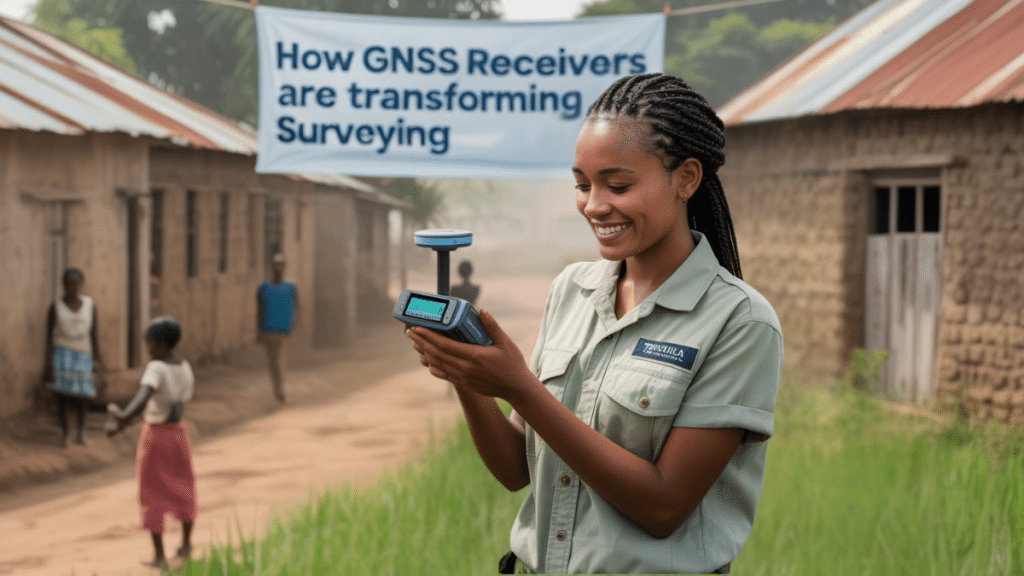
In many developing countries, land is not only a resource but a battleground. Disputed boundaries, unregistered properties, and rapidly expanding urban zones all create friction in regions where governance and infrastructure already face enormous pressure. At the heart of resolving many of these challenges lies a deceptively simple act: accurately knowing where something is. This is where modern geospatial technology — particularly GNSS (Global Navigation Satellite System) receivers — steps in not as a luxury, but as a necessity.
Traditionally, land surveying has been a laborious, expensive, and often inaccessible discipline. It required specialized equipment, expert crews, and extensive time — resources often out of reach for local municipalities or rural communities. As a result, many regions operate with outdated maps, unverified property lines, and incomplete infrastructure records. The emergence of compact, affordable, and user-friendly gnss receivers has begun to shift this landscape dramatically.
A Leap in Capability, Not Just Cost
What sets GNSS receivers apart from older methods isn’t merely convenience — it’s precision. These tools offer centimeter-level accuracy, a game-changer in areas where even small errors can have outsized consequences. For instance, when two farmers dispute a shared boundary, or when a village seeks to prove its historical footprint to secure communal rights, the difference between a vague estimate and a digitally verified position can determine outcomes that affect livelihoods.
In the past, such accuracy was the domain of elite survey firms and state agencies. But the new generation of GNSS devices — portable, intuitive, and compatible with open-source platforms — brings that capability to small engineering teams, community leaders, NGO workers, and even student mappers.
Land Tenure and Legal Empowerment
One of the most immediate and profound impacts of GNSS technology in developing regions is in the realm of land tenure. In many countries, vast swaths of rural and peri-urban land are held informally — passed through families or communities without official registration. This makes landowners vulnerable to displacement, unable to secure loans, and excluded from development plans.
With GNSS-based mapping, these communities can document their land holdings with a level of precision that stands up to legal scrutiny. Local organizations in parts of Africa, Southeast Asia, and Latin America now use GNSS-enabled surveys to submit land claims, negotiate zoning disputes, and participate in national cadastral reforms. The result isn’t just clearer maps — it’s stronger rights.
Infrastructure That Reflects Reality
Infrastructure development in emerging economies often outpaces the ability to document it. Roads are built without being mapped. Utilities are laid without exact positioning. Schools and clinics appear in locations that never make it into official records.
GNSS receivers empower local governments to catch up — to geotag assets, monitor expansion, and plan with accuracy. A mobile survey team with a handheld GNSS unit can, in a single day, map kilometers of new roads or dozens of public buildings. This information feeds into digital planning systems, helping administrators make smarter decisions about where to expand services, how to prioritize repairs, or which areas face growing risks like flooding or overcrowding.
Education and Workforce Development
Another quiet revolution enabled by GNSS technology is in education. Technical universities and vocational schools across the Global South are now incorporating GNSS fieldwork into their curricula. Students not only learn theory but also engage directly with professional-grade tools that prepare them for real-world jobs in engineering, construction, agriculture, and public policy.
More importantly, these students graduate with skills that remain in-country. Instead of relying on foreign consultants or international survey crews, local governments and businesses can now tap into a homegrown workforce of geospatial professionals. GNSS receivers, in this context, are not just measurement tools — they’re instruments of autonomy.
Empowering Local Innovation
Perhaps the most exciting aspect of this shift is how local communities are finding novel uses for the technology. In Kenya, volunteer mappers are using GNSS receivers to document informal settlements, creating the first accurate maps for areas where millions live without official recognition. In Indonesia, coastal communities are tracking shoreline erosion to lobby for climate adaptation support. In Colombia, indigenous groups are mapping their traditional territories to assert sovereignty in national negotiations.
None of these applications were designed in Silicon Valley. They emerge from local needs, local intelligence, and local trust — enabled by global positioning systems, yes, but driven by people on the ground.
Challenges Remain
Of course, GNSS deployment in developing countries is not without its hurdles. Power supply, mobile connectivity, training, and data standardization all present barriers. But many of these are being addressed through open-source software, solar-powered gear, and peer-led training networks. In fact, the very challenges that once limited access to geospatial data are now catalysts for innovation.
And as more communities adopt these tools, a shared ecosystem begins to form — one where data is interoperable, skills are transferable, and success stories are replicable.
From Data to Development
Ultimately, GNSS receivers are not magic wands. They do not solve land disputes, build infrastructure, or write policies. But they do make all of those things smarter. They provide a shared reference point — a stable digital backbone on which agreements, plans, and protections can be built.
In places where institutions are fragile, where top-down development has failed, or where local voices are often ignored, the ability to say “this is where we are” becomes radical. It becomes a foundation for dialogue, fairness, and resilience.
The next decade of development will not be shaped solely by capital flows or megaprojects. It will be defined by data — accurate, trusted, and accessible data. And in that future, GNSS receivers are not a luxury for the wealthy. They are a necessity for everyone else.
