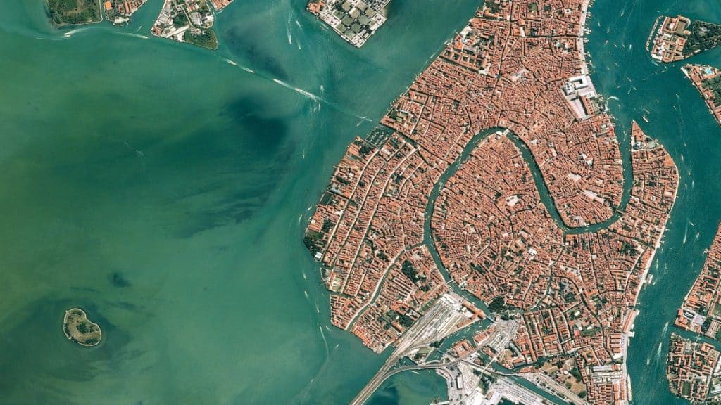
In recent years, high-resolution satellite imagery has emerged as a transformative tool in infrastructure development. This technology provides detailed views of the Earth’s surface, offering valuable data for planners and engineers. By utilizing these images, decision-makers can enhance infrastructure projects’ planning, monitoring, and maintenance.
Exploring the Details of High-Quality Satellite Images
Satellite images provide views of Earth from outer space. The best high resolution satellite imagery showcases clear and precise visuals that enable spotting small items and subtle alterations over time. This intricate level of information is a resource for experts engaged in building infrastructure as it uncovers perspectives that were once out of reach.
Planning Applications
During the planning phases of infrastructure projects, detailed satellite images play a role as a valuable asset. They enable planners to study land formations and geographical attributes, ensuring the selection of the sites. This examination assists in steering regions away from natural calamities or environmental issues. Moreover, the planners are able to evaluate the closeness of existing infrastructure, facilitating the seamless integration of new initiatives with current facilities.
Additionally, satellite images aid in the development of elevation models. These models offer details on terrain and height, which are vital for precise design and construction blueprints. Having a view of the landforms helps planners make informed choices, minimizing risks and unexpected hurdles.
Improving Project Oversight
High-resolution satellite images greatly benefit project progress monitoring. They provide a cost alternative to site inspection methods, which can be time-consuming and expensive for teams involved in monitoring progress remotely. This approach enables the detection of delays and efficient resource allocation, which are essential for effective project management.
Moreover, satellite images help spot land use. Encroachments assist in ensuring projects follow regulations and avoid legal problems. Satellite technology also helps keep track of schedules and budgets through constant monitoring.
Ensuring the Operation and Oversight of Maintenance Tasks
After the infrastructure is up and running smoothly, it’s essential to focus on maintenance to keep everything running well over time. Satellite images are key during this phase as they provide an apt picture of the infrastructure’s condition. Experts can spot signs of damage and decay, evaluate the structures’ sound, and pinpoint where maintenance work is needed.
Detecting problems before they become massive concerns helps save money and time on repairs, minimize downtime, and effectively allocate resources. Using satellite images to prioritize maintenance efforts and reduce the ecological impact of infrastructure projects is advantageous to the environment.
Advocating for the Advancement of Growth
Concerns about sustainability are increasing in the field of infrastructure development. This has been happening as high-quality satellite images help promote sustainable approaches by providing valuable information on natural conditions. Thereby, it allows planners assess how projects affect ecosystems and wildlife habitats with an aim to minimize disturbances.
Moreover, the use of satellite images is beneficial in supervising energy facilities like wind farms. This surveillance helps maintain the efficiency and durability of structures, which in turn aids in creating an energy landscape. With its support for eco projects, satellite technology has a part to play in reducing the environmental repercussions of progress.
What Lies Ahead
Although high-quality satellite images offer advantages, there are some hurdles to overcome. Understanding the data demands expertise and cutting-edge tools. Moreover, obtaining data might involve substantial expenses. Nevertheless, the opportunities for advancements in satellite technology are immense.
With technological progress comes resolution and enhanced data processing capacities, paving the way for the use of satellite imagery in developing infrastructure further ahead. The increased availability and cost-effectiveness will probably encourage embracing this technology, a significant benefit for various global projects.
Final Thoughts
High-quality satellite images have transformed the way infrastructure projects are carried out by offering insights for planning and upkeep activities that enhance effectiveness and environmental friendliness despite facing some obstacles. The upcoming advancements in satellite tech are promising and will play a vital role in shaping durable and eco-friendly infrastructure as global changes continue to unfold.
